File:Isle of Wight outline map with UK.png
From SpottingWorld, the Hub for the SpottingWorld network...

Size of this preview: 640 × 405 pixels. Other resolutions: 320 × 203 pixels | 907 × 574 pixels.
Original file (907 × 574 pixels, file size: 96 KB, MIME type: image/png)
| 40x40px | This Map image was uploaded in a raster graphics format such as PNG, GIF, or JPEG. However, it contains information that could be stored more efficiently and/or accurately in the SVG format, as a vector graphic. If possible, please upload an SVG version of this image. After confirming it is of comparable quality, please replace all instances of the previous version throughout Wikipedia (noted under the "File links" header), tag the old version with {{vector version available|NewImage.svg}}, and remove this tag. For more information, see Wikipedia:Preparing images for upload. For assistance with converting to SVG, please see the Graphics Lab. |
60px |
Summary
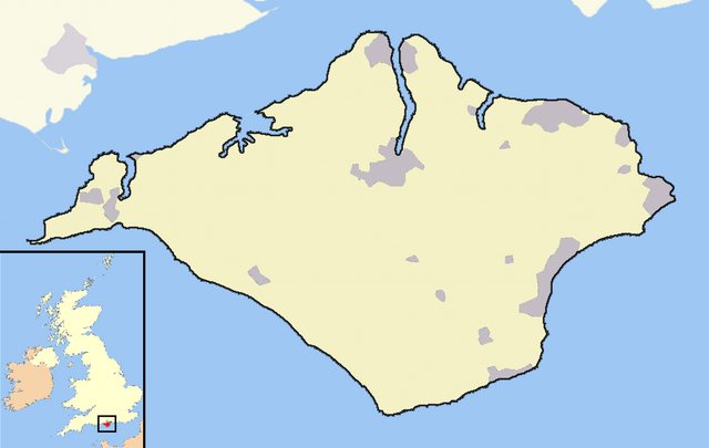
An outline map of the Isle of Wight for use within templates on Wikipedia.
Own work - created 12th April 2007 - derived from data from the OpenStreetMap project
Licensing:
|
File history
Click on a date/time to view the file as it appeared at that time.
| Date/Time | Thumbnail | Dimensions | User | Comment | |
|---|---|---|---|---|---|
| current | 19:28, 26 June 2010 | | 907 × 574 (96 KB) | Admin (talk | contribs) | {{SVG|Map}} == {{int:filedesc}} == An outline map of the Isle of Wight for use within templates on Wikipedia. Own work - created 12th April 2007 - derived from data from the OpenStreetMap project == {{int:license}} == {{self|cc-by-sa-2.0}} Category:OpenStreetMap maps Category:Isle of Wight |
- You cannot overwrite this file.
File usage
The following 2 pages link to this file:
