File:Wrangel Mamenmap.jpg
From SpottingWorld, the Hub for the SpottingWorld network...
Size of this preview: 640 × 352 pixels. Other resolutions: 320 × 176 pixels | 782 × 430 pixels.
Original file (782 × 430 pixels, file size: 68 KB, MIME type: image/jpeg)
| Description |
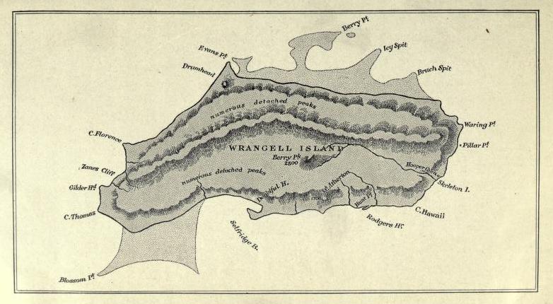
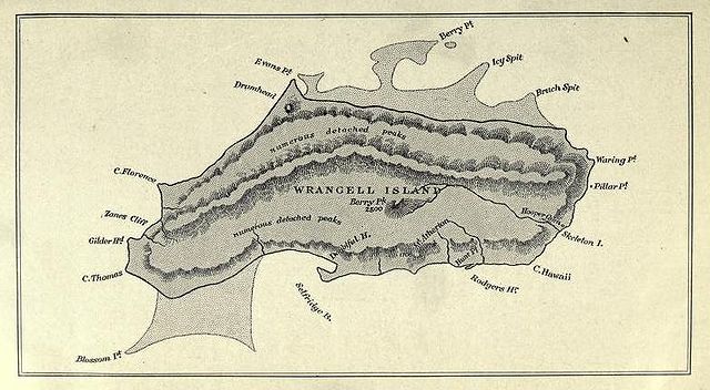
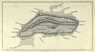
A map of Wrangel Island in he Arctic Ocean |
|---|---|
| Source |
Bartlett & Hale The Last Voyage of the Karluk, McLelland, Goodchild & Stewart, Toronto 1916 link here |
| Date |
1913 |
| Author |
Drawn by Bjarn Mamen 1893-1914 (a member of the Karluk expedition) |
| Permission (Reusing this file) |
This image is in the public domain in the United States. In most cases, this means that it was first published in the United States prior to January 1, 1923 . Other jurisdictions may have other rules, and this image might not be in the public domain outside the United States. See public domain and Copyrights for more details. |
File history
Click on a date/time to view the file as it appeared at that time.
| Date/Time | Thumbnail | Dimensions | User | Comment | |
|---|---|---|---|---|---|
| current | 12:43, 12 July 2010 | | 782 × 430 (68 KB) | Admin (talk | contribs) | {{Information |Description = A map of Wrangel Island in he Arctic Ocean |Source = Bartlett & Hale ''The Last Voyage of the Karluk'', McLelland, Goodchild & Stewart, Toronto 1916 [http://www.archive.org/stream/lastvoyageofkarl00bartuoft#page/n9/mode/2up link here] |Date = 1913 |Author = Drawn by Bjarn Mamen 1893-1914 (a member of the ''Karluk'' expedition) |Permission = {{PD-US}} {{PD-old-70}}{{PD-Canada}} |other_versions = }} |
- You cannot overwrite this file.
File usage
The following page links to this file:
