File:Victoria and Sooke Harbor nautical chart 1906 (excerpt).jpg
From SpottingWorld, the Hub for the SpottingWorld network...
Size of this preview: 640 × 409 pixels. Other resolutions: 320 × 205 pixels | 1,915 × 1,224 pixels.
Original file (1,915 × 1,224 pixels, file size: 476 KB, MIME type: image/jpeg)
Summary
| Description | Washington State Library
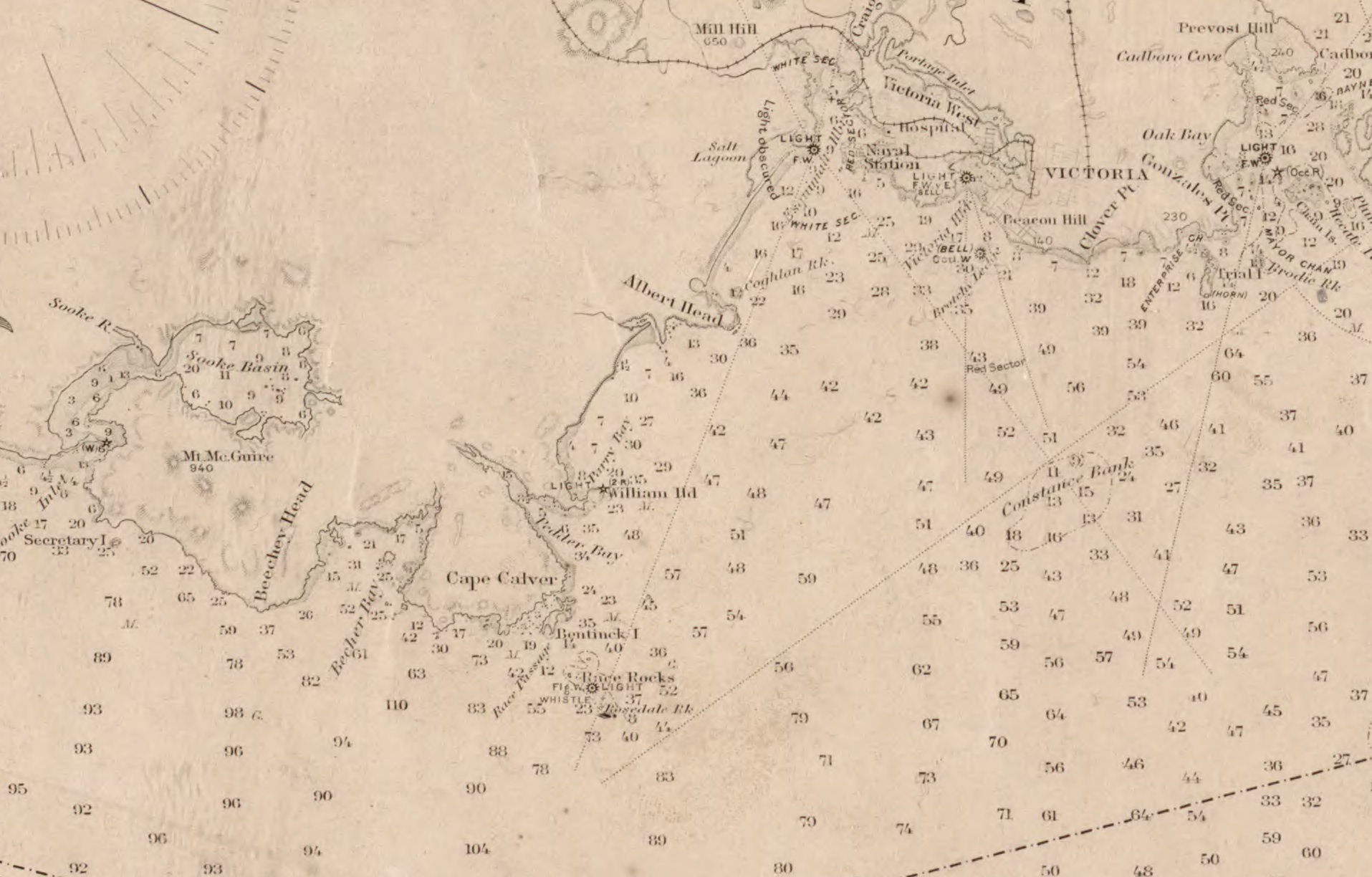
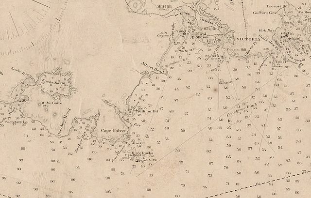
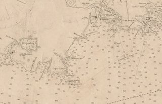
part of U.S. Coast and Geodetic Survey Map showing Victory and Sooke Harbor |
|---|---|
| Source | |
| Date |
1906 |
| Author |
U.S. Coast and Geodetic Survey |
| Permission (Reusing this file) |
Public Domain (U.S. government publication) |
| Other versions | a full version of the entire map can be accessed at http://www.secstate.wa.gov/history/maps_detail.aspx?m=48 |
Licensing
| This work is in the public domain in the United States because it is a work of the United States Federal Government under the terms of Title 17, Chapter 1, Section 105 of the |US Code. See Copyrights.
Note: This only applies to works of the Federal Government and not to the work of any individual US state, territory, commonwealth, county, subdivision, or municipality. |
 |
File history
Click on a date/time to view the file as it appeared at that time.
| Date/Time | Thumbnail | Dimensions | User | Comment | |
|---|---|---|---|---|---|
| current | 05:58, 29 June 2010 | | 1,915 × 1,224 (476 KB) | Admin (talk | contribs) | == Summary == {{Information |Description=part of U.S. Coast and Geodetic Survey Map showing Victory and Sooke Harbor |Source=[http://www.secstate.wa.gov/history/maps_detail.aspx?m=48 Washington Secretary of State, Historical Section] |Date=1906 |Location=Washington State Library |Author=U.S. Coast and Geodetic Survey |Permission=Public Domain (U.S. government publication) |other_versions=a full version of the entire map can be accessed at http://www.secstate.wa.gov/history/maps_detail.aspx?m=48 }} == Licensing == {{PD-USGov}} |
- You cannot overwrite this file.
File usage
The following page links to this file:

.jpg&oldid=8388)
.jpg)
.jpg&action=edit&redlink=1)
.jpg&action=edit)
.jpg&action=history)
.jpg)
.jpg)
.jpg&printable=yes)
.jpg&oldid=8388)
.jpg&action=info)