File:Washington Ferries map.png
From SpottingWorld, the Hub for the SpottingWorld network...
No higher resolution available.
Washington_Ferries_map.png (640 × 356 pixels, file size: 94 KB, MIME type: image/png)
| Description |
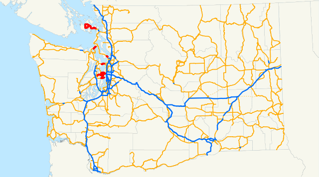
A map showing the ferry routes operated by Washington State Ferries in comparison with state highways in Washington. |
|---|---|
| Source |
Self-made, used Image:Washington state highways.svg |
| Date |
October 18, 2008 |
| Author |
~~ This page was edited by ĈĠ |
| Permission (Reusing this file) |
I, the creator of this work, hereby release it into the public domain. This applies worldwide. |
File history
Click on a date/time to view the file as it appeared at that time.
| Date/Time | Thumbnail | Dimensions | User | Comment | |
|---|---|---|---|---|---|
| current | 10:08, 7 July 2010 | | 640 × 356 (94 KB) | Admin (talk | contribs) | {{Information | Description = A map showing the ferry routes operated by Washington State Ferries in comparison with state highways in Washington. | Source = Self-made, used Image:Washington state highways.svg | Date = October 18, 2008 | Author = ~~ This page was edited by '''ĈĠ''' | Permission = {{pd-self|date=October 2008}} }} |
- You cannot overwrite this file.
File usage
The following page links to this file:
