Perdido Pass
Perdido Pass, separating Alabama Point from Florida Point, is the mouth of the Perdido River. Perdido Pass forms a water passage that connects Perdido Bay with the Gulf of Mexico to the south, in the U.S. state of Alabama, 2 miles (3 km) west of the Alabama/Florida state line. A bridge spans Perdido Pass, connecting Alabama Point (western side) with Florida Point in Alabama (linked below). At the entrance into the Gulf, the 2 rock barriers, extending from the white beaches, are the west jetty & east jetty (see image). The surrounding area is heavily developed, with high-rise condominiums. However, there are nearby beach-front parks, with Gulf State Park on the eastern side of Perdido Pass.[1]
Contents
Description
Perdido Pass, extending between Florida Point and Alabama Point, is easily distinguished, from offshore, by the Alabama State Route 182 highway bridge in Orange Beach, Alabama, spanning the pass with two openings. The fixed span over Perdido Pass Channel has a clearance of 54 feet (16 m). The fixed span over Cotton Bayou Channel has a clearance of 41 feet (12 m). The dredged entrance channel leads from the Gulf through Perdido Pass to a fork at the highway bridge; thence into two channels, one leading north into Terry Cove and Johnson Cove and the other leading east into Bayou St. John. The entrance to the pass is protected by a jetty on the west and by a combination weir and jetty on the east; the top of the weir is submerged 6 inches (15 cm) at mean low tide. Numerous sunken wrecks are in the approach to the pass.
Depth of channels

In October 2006, the controlling depth was 5.2 feet (1.6 m), reaching 8.2 ft (2.5 m) at mid-channel, in the entrance channel to the intersection of the east and west channels. From that area, thence 4.9 ft (1.5 m), reaching 8.3 ft deep (2.5 m) at mid-channel, in the west channel leading to Terry and Johnson Coves, thence 6.9 ft (2.1 m), reaching 7.4 ft deep (2.3 m) at mid-channel, in the east channel leading to Bayou St. John. The channels are well marked. A lighted whistle buoy off the entrance marks the approach.
Access to the Intracoastal Waterway
The Intracoastal Waterway, in the lower part of Perdido Bay, is reached from Perdido Pass via a marked channel through Bayou St. John. In May 1982, shoaling to 6 feet (1.8 m) was reported in Bayou St. John, between day-beacons no. 6 and 8. An overhead power cable, with a clearance of 59 ft (18 m), crosses the channel leading to Terry Cove and Johnson Cove, about 0.4 miles (0.64 km) from the State Route 182 fixed bridge. Several small-craft facilities are in the coves and Cotton Bayou, on the W side of Perdido Pass 0.7 miles (1.1 km) above the entrance.
Old River

<div style="position: absolute; z-index: 2; top: Expression error: Unrecognized punctuation character "[".%; left: Expression error: Unexpected < operator.%; height: 0; width: 0; margin: 0; padding: 0;"><div style="position: relative; text-align: center; left: -Expression error: Unrecognized punctuation character "[".px; top: -Expression error: Unrecognized punctuation character "[".px; width: Template:Location map USApx; font-size: Template:Location map USApx;">[[Image:Template:Location map USA|Template:Location map USAxTemplate:Location map USApx|link=|alt=]]
Old River enters Perdido Pass from the east between Florida Point and Ono Island. In May 1982, a reported depth of 5 feet (1.5 m) could be carried through the river, with local knowledge. The Florida-Alabama state boundary passes along the center of Old River until 2 miles (3 km) before Perdido Pass. A fixed highway bridge with a clearance of 24 feet (7.3 m) crosses Old River, about 1 mile (1.6 km) east of Perdido Pass.[2]
Florida Point in Alabama
Both Alabama Point and Florida Point are in the town of Orange Beach, Alabama (along the Gulf of Mexico).[3] However, Florida Point is the tip of a peninsula originating in the U.S. State of Florida, with the final 2 miles (3 km) of the tip contained within Alabama. Often U.S. state lines run through the middle of a water pass or river; however, the Perido Pass is entirely within the State of Alabama, where the state line runs east of it. The Gulf State Park is located on Florida Point.
2010 Gulf oil spill
Following the Deepwater Horizon oil spill (called the "Gulf oil spill"), the entrance to Perdido Pass was closed, with a barrier system in June 2010, to control tidal flow of oil entering from the Gulf of Mexico. The daily high tide was causing oil-contaminated water to enter Perdido Bay. The barrier system is designed to allow boats to travel through Perdido Pass, during the outflowing tide, but close during the rising tide and collect oil deposits in a retention area on the eastern edge of the pass.
References
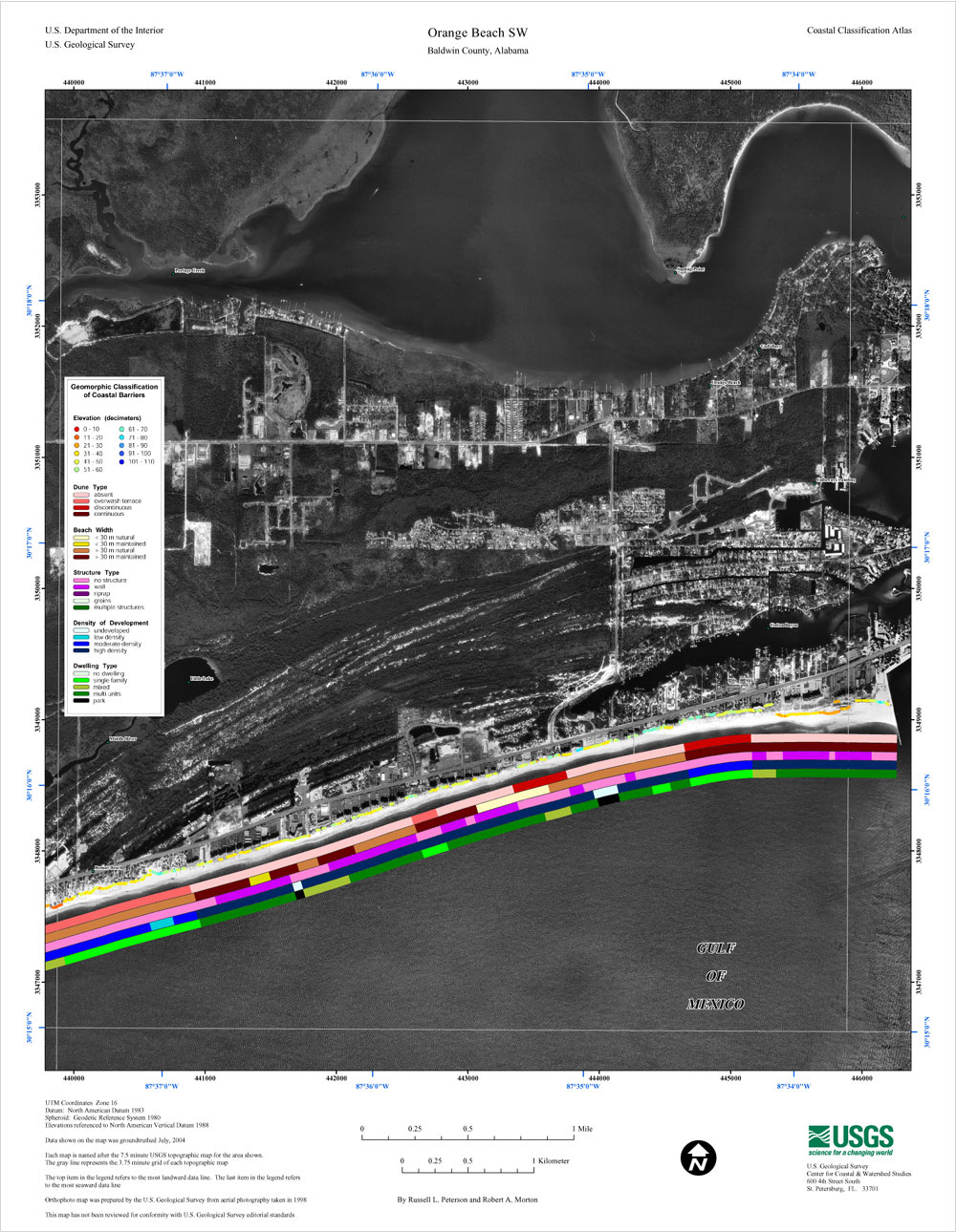
- ↑ "Orange Beach SW" (area map showing development), USGS, 5 May 2005, web image: USGS-map.
- ↑ Office of Coast Survey - United States Coast Pilot 5
- ↑ See Google maps of area: Map-around-Perdido-Pass.
