File:Willem Blaeu00.jpg
From SpottingWorld, the Hub for the SpottingWorld network...
Size of this preview: 628 × 479 pixels. Other resolutions: 315 × 240 pixels | 1,140 × 870 pixels.
Original file (1,140 × 870 pixels, file size: 399 KB, MIME type: image/jpeg)
Summary
| Description |
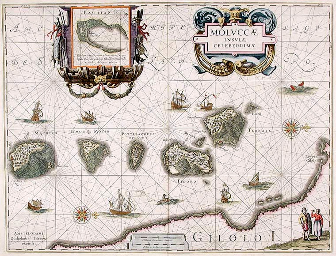
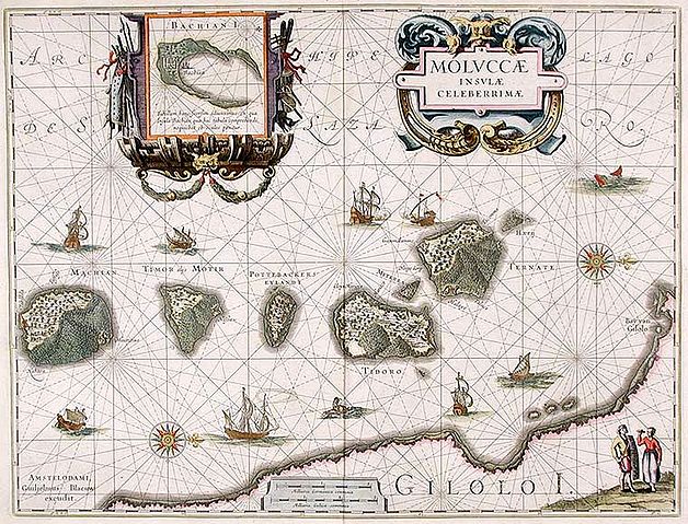
English: "Moluccæ Insulæ Celeberrimæ". Blaeu's map, which first appeared in 1630 in the Atlantis Appendix., was the first large-scale, detailed map of the now Dutch-controlled islands. It shows the heavily forested nature of the islands and the recently constructed forts. The inset map shows the island of Batjan. The border decoration of the inset has on one side mariner's instruments and on the other instruments of war. There are several ships both European and Asian as well as a couple of sea monsters. There is a sea battle near Ternate where the Dutch defeated the Portuguese. |
|---|---|
| Source | |
| Date |
1630 |
| Author |
Willem Janszoon Blaeu (1571-1638) |
| Permission (Reusing this file) |
Public domain |
Licensing:
This image is in the public domain because its copyright has expired in the United States and those countries with a copyright term of life of the author plus 100 years or less.
File history
Click on a date/time to view the file as it appeared at that time.
| Date/Time | Thumbnail | Dimensions | User | Comment | |
|---|---|---|---|---|---|
| current | 13:32, 26 June 2010 | | 1,140 × 870 (399 KB) | Admin (talk | contribs) | == {{int:filedesc}} == {{Information |Description={{en|1="Moluccæ Insulæ Celeberrimæ". Blaeu's map, which first appeared in 1630 in the Atlantis Appendix., was the first large-scale, detailed map of the now Dutch-controlled islands. It shows the heavily forested nature of the islands and the recently constructed forts. The inset map shows the island of Batjan. The border decoration of the inset has on one side mariner's instruments and on the other instruments of war. There are several ships both European and Asian as well as a couple of sea monsters. There is a sea battle near Ternate where the Dutch defeated the Portuguese.}} |Source=http://www.donaldheald.com/s12772.html |Author=Willem Janszoon Blaeu (1571-1638) |Date=1630 |Permission=Public domain |other_versions= }} <!--{{ImageUpload|full}}--> Category:Maps by Willem and Johannes Blaeu Category:Maluku Islands Category:maps of the history of Indonesia == {{int:license}} == {{PD-old}} Category:1630 |
- You cannot overwrite this file.
File usage
The following page links to this file:
